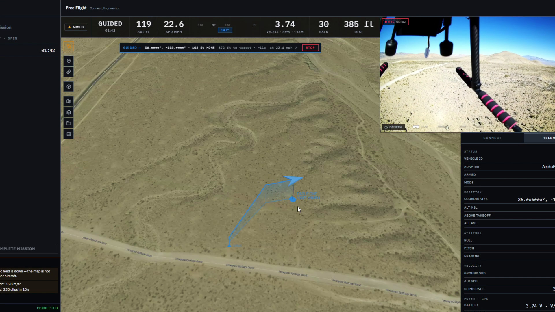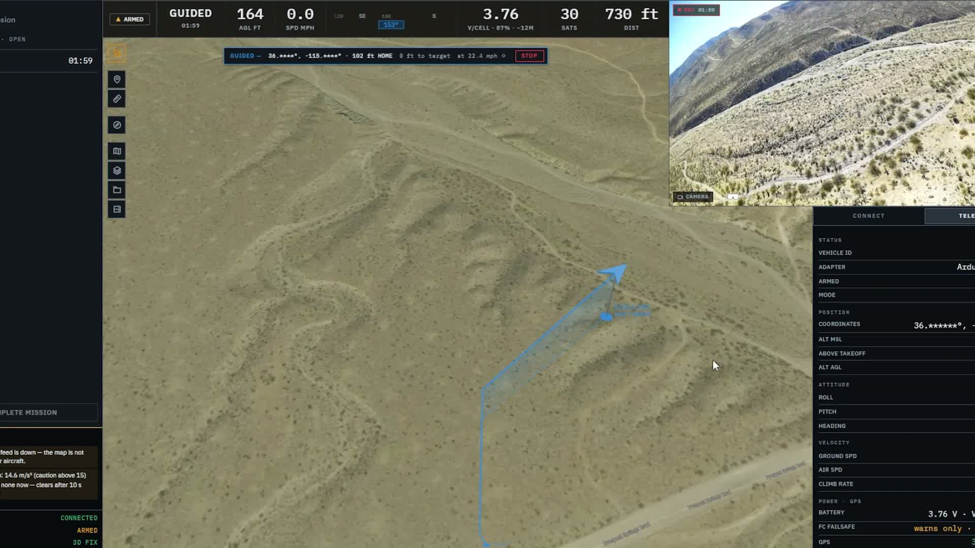
Picture the view from an aircraft passing over a trail. Something beside the path catches your eye, and you’d like a closer look. You can point it out on the laptop screen. Now you want to find that same place on the ground.
That’s the kind of moment we’re building toward with Markhor. The sighting and detection work planned for 0.4 and 0.5 starts with that connection between the picture and the map. The 0.3 series is where we get the video ready for it.
We already have a live camera view in the workspace. The next step is to understand what we’re looking through, when each picture was captured and which patch of ground it shows. There’s a fair bit tucked into those few questions.
A better view from the laptop
First, the picture itself needs some attention. If you’ve connected a capture card capable of a good, clear image, you want the app to make use of it.
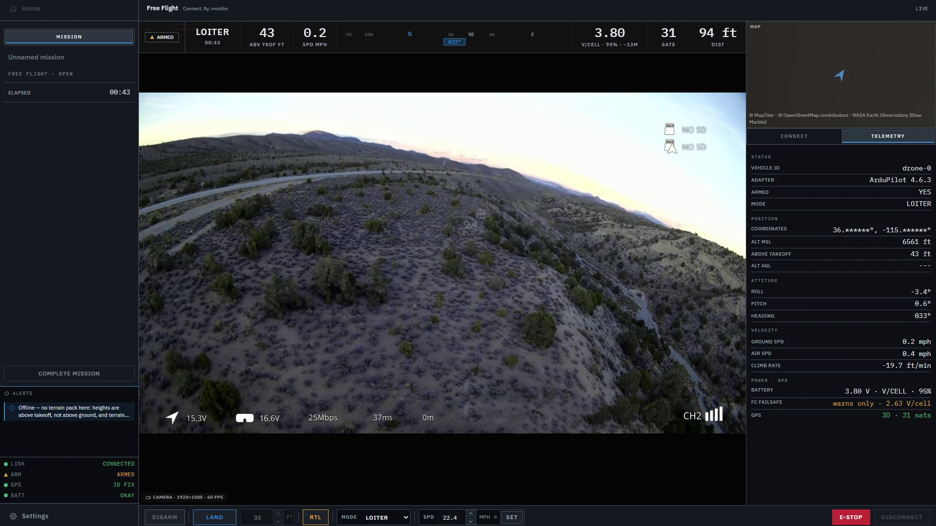
Beta 0.3.0 now opens capture cards in their best available mode. The video panel shows the camera, picture size and frame rate, and tells you when it receives less than requested. If your saved camera isn’t plugged in, the app no longer quietly opens a different one in its place.
The map belongs in this work too. It shares the laptop with the video, so how often it redraws matters to the whole workspace. We’ve added a frame rate cap with a separate setting for battery power. The map can also rebuild after a graphics crash while the aircraft connection and commands keep working.
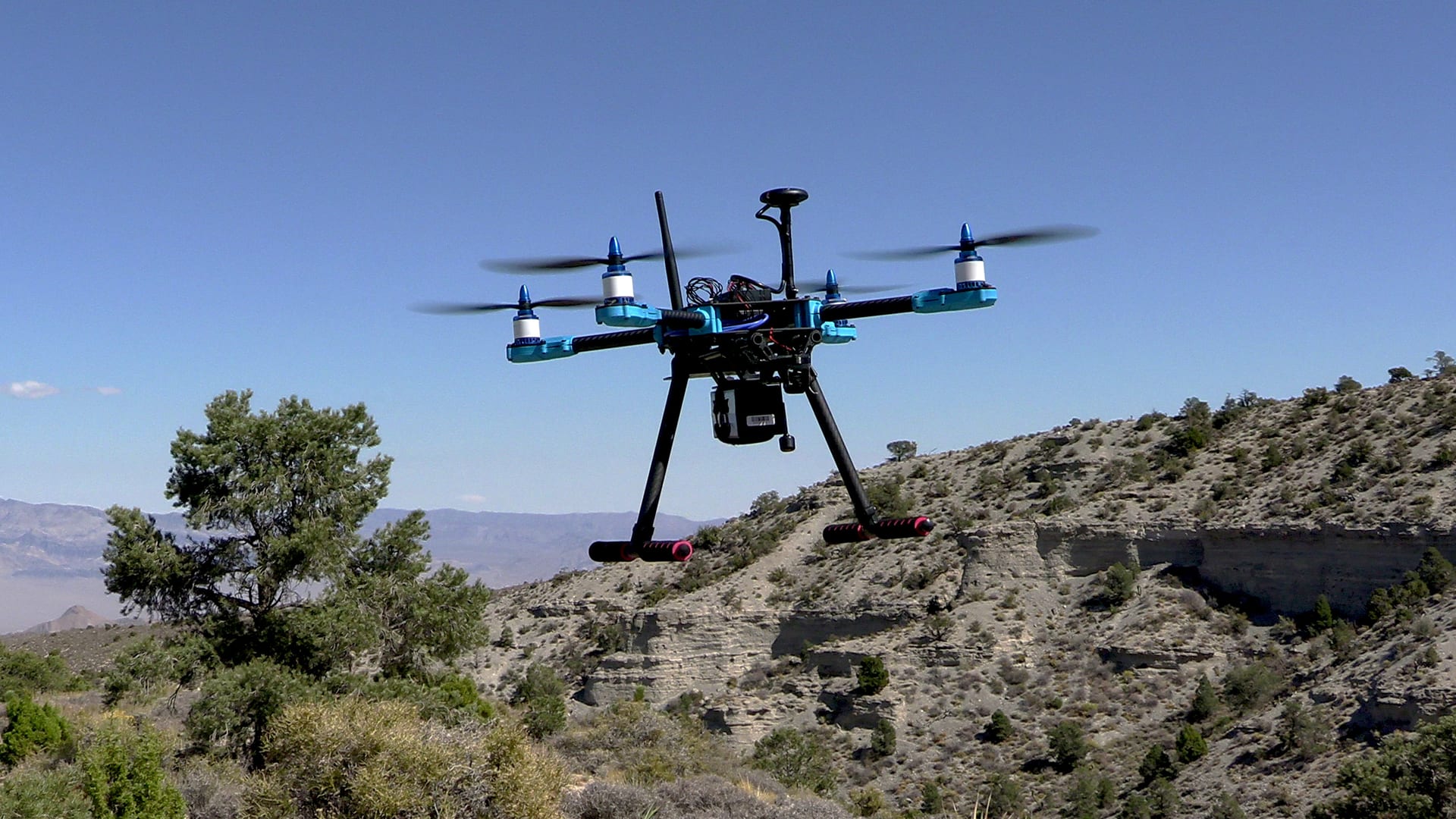
We checked the app with a simulated camera and aircraft before release, then flew it on our own aircraft on November 9. The capture card delivered 1920 × 1080 video at 60 fps. We came back with records of the incoming frames, the aircraft link and the computer and flight controller clocks. Those give us something concrete to work from as the camera work continues.
Giving each frame a place in time
Think of a single frame where that spot beside the trail comes into view. The aircraft keeps moving while the picture travels to the laptop. Its latest position on the map may belong to a different moment from the one shown in that frame. To put that spot on the ground, we need to work out which aircraft readings belong with the picture.
Beta 0.3.0 starts keeping the records for that work. Recordings now keep the time of each frame, and the flight records keep the flight controller’s clock and firmware version. Matching those frames to the aircraft’s position is still ahead. Having the times recorded gives us a starting point for making that connection and checking it against a real flight.
Finding that spot again
Go back to that spot beside the trail. The aircraft has a position on the map, but the camera might be looking some way ahead of it. Pointing to the aircraft’s dot wouldn’t tell someone where to look.
Think about the middle of the picture. A camera looking straight down and one tilted toward the horizon could be looking at very different places from the same aircraft position. The camera’s view, its mounting angle and the terrain all belong in that calculation. Timing tells us which moment to use. Camera setup helps us understand where it was looking.
That’s the rest of the job for 0.3. We plan to keep a camera setup with each aircraft, measure the picture as the laptop receives it and record where the camera points on the aircraft. Together with the timing work, those pieces lead toward showing the camera’s footprint, the area it covers, on the map. Being able to see that area move with the camera would make the relationship between the two views much easier to follow.
Where it starts to get exciting
Once that groundwork is in place, we can start doing more with what catches your eye. In 0.4, the plan is to let the operator select a spot in the video and turn it into a sighting on the map. Alongside the estimated location, we want to show the surrounding uncertainty. That gives someone a useful area to look in when they follow it up.
For that spot beside the trail, a sighting would give us something to review and name. Another view of the same spot could help tighten the estimate, which is why combining repeat sightings is part of the 0.4 plan too. I want the map to help someone decide where to look while keeping the limits of the estimate visible.
Then 0.5 brings detection into the same workflow. The plan is to let you load your own detection model and run it on the live video. It could draw your attention to something worth reviewing, with the operator deciding what becomes a confirmed sighting. Once confirmed, it would follow the same path to a ground location and an uncertainty area as a sighting you selected yourself.
I’m really looking forward to getting into that work. Being able to notice something in the picture, put it on the map and give someone a place to look is a big part of why I’m excited to keep building this. For now, we’re spending time on the video and the details behind it, with those moments in mind.
The Beta 0.3.0 release notes cover the individual changes. The roadmap shows the work across the rest of the series and beyond.
Markhor is in active development and is not yet available outside Lechuza.